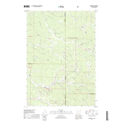
2017 Map of Buckhorn
USGS Topo · Published 2017About this map
The settlement of Buckhorn sits at a critical intersection of high-country drainage and historical routes along the Wyoming and South Dakota border. Located within the Black Hills National Forest, this 2017 survey details a landscape defined by deep limestone drainages and named landmarks that reveal the region's ranching and natural resource history. The terrain is a complex network of canyons and draws, including the dramatic Riflepit Canyon and Grand Canyon, while high points like Laird Peak and the transit point at O'Neil Pass overlook the complex watershed feeding Cold Springs Cr.
Find a feature on this map
92 named features on this map. Tap any name to fly to it.
Don’t see what you’re looking for? This feature index may not catch every label — zoom into the map to look around manually.
Map Details
Editions of this 2017 Buckhorn Map
This is the sole edition of this map. No revisions or reprints were ever made.
Other maps of this area

1894 · Deadwood
USGS Topo · 1:125,000

1898 · Sundance
USGS Topo · 1:125,000

1900 · Spearfish
USGS Topo · 1:62,500

1901 · Deadwood
USGS Topo · 1:125,000

1902 · Sundance
USGS Topo · 1:125,000

1915 · Spearfish
USGS Topo · 1:62,500

1916 · Deadwood
USGS Topo · 1:125,000

1953 · Rapid City
USGS Topo · 1:250,000

1954 · Gillette
USGS Topo · 1:250,000

1955 · Gillette
USGS Topo · 1:250,000