
1963 Map of Buckingham
USGS Topo · Published 1964About this map
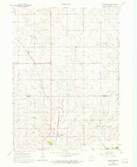
Buckingham and Voorhies anchor this mid-century portrait of the fertile divide between the Cedar and Iowa River drainage basins. The landscape is defined by the Chicago and North Western railroad, which cuts a diagonal path across the agricultural terrain, linking small grain-handling communities with the larger regional markets. Small-scale drainage patterns are intricately mapped along Rock Creek and Miller Creek, revealing the natural contours that dictated road placement and farmstead locations before modern consolidation.
Find a feature on this map
13 named features on this map. Tap any name to fly to it.
Don’t see what you’re looking for? This feature index may not catch every label — zoom into the map to look around manually.
Map Details
Editions of this 1963 Buckingham Map
2 editions found
Other maps of this area

1954 · Waterloo
USGS Topo · 1:250,000

1955 · Waterloo
USGS Topo · 1:250,000

1963 · Hudson
USGS Topo · 1:24,000

1963 · Waterloo South
USGS Topo · 1:24,000

1963 · Eagle Center
USGS Topo · 1:24,000

1971 · Gladbrook NE
USGS Topo · 1:24,000

1971 · Zaneta
USGS Topo · 1:24,000
1971 · Dysart
USGS Topo · 1:24,000

1971 · Traer
USGS Topo · 1:24,000

1971 · Reinbeck
USGS Topo · 1:24,000