
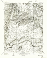
1954 Map of Buckskin Gulch NE
USGS Topo · Published 1954About this map
Eight Mile Pass serves as a central transition point in this mid-century landscape, bridging the elevated Deer Range to the north and the broad expanse of Telegraph Flat to the south. The mapping reveals a dependence on intermittent water sources for livestock and travel, evidenced by labels for the Kitchen Corral Spring, Water Holes, and various stock ponds scattered across the arid terrain. The Paria Road cuts a distinct path through the southeast, following the natural contours of the land near Five Mile Mtn.
Find a feature on this map
14 named features on this map. Tap any name to fly to it.
Don’t see what you’re looking for? This feature index may not catch every label — zoom into the map to look around manually.
Map Details
Editions of this 1954 Buckskin Gulch NE Map
This is the sole edition of this map. No revisions or reprints were ever made.
Other maps of this area

1886 · Kanab
USGS Topo · 1:250,000

1886 · Escalante
USGS Topo · 1:250,000

1953 · Cedar City
USGS Topo · 1:250,000

1954 · Buckskin Gulch NW
USGS Topo · 1:24,000

1954 · Buckskin Gulch SE
USGS Topo · 1:24,000

1954 · Buckskin Gulch SW
USGS Topo · 1:24,000

1954 · Paria NW
USGS Topo · 1:24,000
1954 · Paria SW
USGS Topo · 1:24,000

1954 · Buckskin Gulch
USGS Topo · 1:62,500

1954 · Paria
USGS Topo · 1:62,500