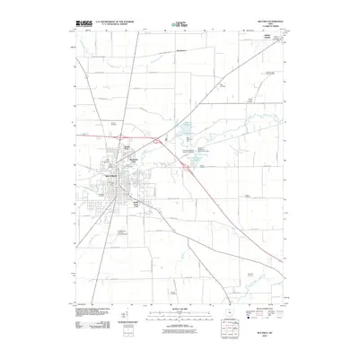
2010 Map of Bucyrus
USGS Topo · Published 2010About this map
Bucyrus serves as the central hub of this Crawford County landscape, where the Sandusky River winds through the northern reaches of the city. The town’s 2010 layout is defined by its industrial and civic core, featuring the Bucyrus Post Office and Bucyrus Waterworks. To the east, a network of water management is visible through the Bucyrus Reservoir, Riley Reservoir, and Bucyrus Reservoir Number Two, supported by structures like the Riley Reservoir Dam.
Find a feature on this map
70 named features on this map. Tap any name to fly to it.
Don’t see what you’re looking for? This feature index may not catch every label — zoom into the map to look around manually.
Map Details
Editions of this 2010 Bucyrus Map
This is the sole edition of this map. No revisions or reprints were ever made.
Other maps of this area

1903 · Marion
USGS Topo · 1:62,500

1905 · Marion
USGS Topo · 1:62,500

1906 · Sycamore
USGS Topo · 1:62,500

1913 · Mount Gilead
USGS Topo · 1:62,500

1915 · Bucyrus
USGS Topo · 1:62,500

1916 · Mount Gilead
USGS Topo · 1:62,500

1943 · Bucyrus
USGS Topo · 1:62,500

1943 · Mount Gilead
USGS Topo · 1:62,500

1950 · Marion
USGS Topo · 1:250,000

1960 · North Robinson
USGS Topo · 1:24,000