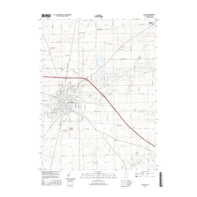
2016 Map of Bucyrus
USGS Topo · Published 2016About this map
Bucyrus sits at a geographic crossroads in Crawford County, where the upper reaches of several major Ohio watersheds nearly converge. The Sandusky River winds through the center of town, while the headwaters of the Little Scioto River and the Olentangy River emerge in the southern and eastern rural sections. This network of waterways is supported by several municipal water works, including the Riley Reservoir and Bucyrus Reservoir Number Two, reflecting the infrastructure needed for this regional hub.
Find a feature on this map
147 named features on this map. Tap any name to fly to it.
Don’t see what you’re looking for? This feature index may not catch every label — zoom into the map to look around manually.
Map Details
Editions of this 2016 Bucyrus Map
This is the sole edition of this map. No revisions or reprints were ever made.
Other maps of this area

1903 · Marion
USGS Topo · 1:62,500

1905 · Marion
USGS Topo · 1:62,500

1906 · Sycamore
USGS Topo · 1:62,500

1913 · Mount Gilead
USGS Topo · 1:62,500

1915 · Bucyrus
USGS Topo · 1:62,500

1916 · Mount Gilead
USGS Topo · 1:62,500

1943 · Bucyrus
USGS Topo · 1:62,500

1943 · Mount Gilead
USGS Topo · 1:62,500

1950 · Marion
USGS Topo · 1:250,000

1960 · North Robinson
USGS Topo · 1:24,000