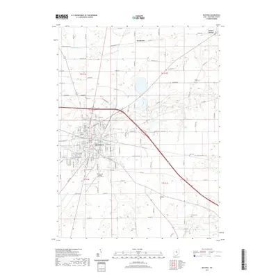
2019 Map of Bucyrus
USGS Topo · Published 2019About this map
Bucyrus serves as the focal point of this 2019 survey, anchored by the Crawford County Courthouse and surrounded by a dense network of residential streets like E Charles St and Beal Ave. The landscape is defined by the winding course of the Sandusky River, which flows through the heart of the city, and the headwaters of the Little Scioto River and Olentangy River to the south and west. This drainage pattern reveals the area’s position on a critical Ohio watershed divide.
Find a feature on this map
136 named features on this map. Tap any name to fly to it.
Don’t see what you’re looking for? This feature index may not catch every label — zoom into the map to look around manually.
Map Details
Editions of this 2019 Bucyrus Map
This is the sole edition of this map. No revisions or reprints were ever made.
Other maps of this area

1903 · Marion
USGS Topo · 1:62,500

1905 · Marion
USGS Topo · 1:62,500

1906 · Sycamore
USGS Topo · 1:62,500

1913 · Mount Gilead
USGS Topo · 1:62,500

1915 · Bucyrus
USGS Topo · 1:62,500

1916 · Mount Gilead
USGS Topo · 1:62,500

1943 · Bucyrus
USGS Topo · 1:62,500

1943 · Mount Gilead
USGS Topo · 1:62,500

1950 · Marion
USGS Topo · 1:250,000

1960 · North Robinson
USGS Topo · 1:24,000