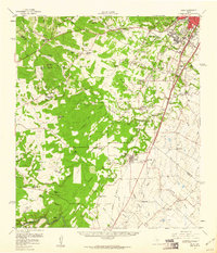
1958 Map of Buda
USGS Topo · Published 1960About this map
The Missouri Pacific railroad anchors the central corridor of this Central Texas landscape, connecting the growing outskirts of Austin with the established communities of Buda and Manchaca. The map documents a period of transition where large family holdings, such as the Heissner Ranch, Rutherford Ranch, and Halifax Ranch, still define the rural stretches between the Balcones Escarpment and the coastal plains. Significant historic routes are visible, including the Old San Antonio Road and the Memorial Highway, tracing the movement patterns of early settlers.
Find a feature on this map
85 named features on this map. Tap any name to fly to it.
Don’t see what you’re looking for? This feature index may not catch every label — zoom into the map to look around manually.
Map Details
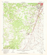
Editions of this 1958 Buda Map
2 editions found
Other maps of this area

1887 · Blanco
USGS Topo · 1:125,000

1894 · Blanco
USGS Topo · 1:125,000

1896 · Austin
USGS Topo · 1:125,000

1897 · Austin
USGS Topo · 1:125,000

1910 · Austin
USGS Topo · 1:125,000

1911 · San Marcos
USGS Topo · 1:125,000

1919 · San Marcos
USGS Topo · 1:125,000

1929 · Hunter
USGS Topo · 1:62,500

1930 · Lockhart
USGS Topo · 1:62,500

1932 · Mt. Bonnell
USGS Topo · 1:62,500