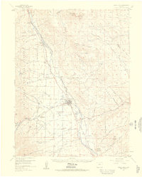
1955 Map of Buena Vista
USGS Topo · Published 1960About this map
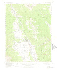
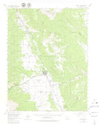
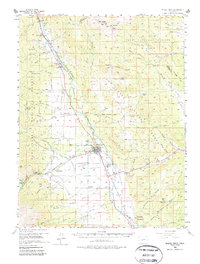
Buena Vista serves as the central hub of this Chaffee County landscape, where the Arkansas River valley meets the foothills of the Pike National Forest and San Isabel National Forest. The map documents a mid-century period of established infrastructure, featuring the Denver and Rio Grande Western Railroad and an old railroad grade cutting through the terrain. Civic and social landmarks are prominent, including the State Reformatory, State Fish Hatchery, and the Municipal Airport.
Find a feature on this map
88 named features on this map. Tap any name to fly to it.
Don’t see what you’re looking for? This feature index may not catch every label — zoom into the map to look around manually.
Map Details
Editions of this 1955 Buena Vista Map
8 editions found

Other maps of this area

1889 · Leadville
USGS Topo · 1:125,000

1891 · Leadville
USGS Topo · 1:125,000

1935 · Mount Elbert
USGS Topo · 1:62,500

1938 · Mount Elbert
USGS Topo · 1:62,500

1939 · Mount Elbert
USGS Topo · 1:62,500

1940 · Garfield
USGS Topo · 1:62,500

1942 · Leadville
USGS Topo · 1:125,000

1945 · Garfield
USGS Topo · 1:62,500

1953 · Denver
USGS Topo · 1:250,000

1954 · Pueblo
USGS Topo · 1:250,000