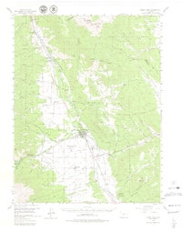
1955 Map of Buena Vista
USGS Topo · Published 1979About this map
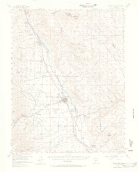
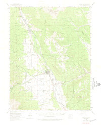
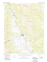
Buena Vista sits at the heart of this mid-century landscape, positioned along the Denver and Rio Grande Western RR and the Arkansas River. The map details a transition from the agricultural and institutional valley floor—home to the State Reformatory, the Municipal Airport, and the Fairground—to the high peaks of the Pike National Forest and San Isabel National Forest. Local educational history is well-preserved through numerous rural school sites including Riverside Sch, Maxwell Sch, and the Pine Creek Sch. In the higher elevations, the map records the legacy of early transportation and industry through an Old Railroad Grade and a Tramway (Aband) near Goddard Ranch. West of town, Cottonwood Hot Springs and the Rancho Sawatch (Boy Scout Camp) indicate the area's long-standing role as a mountain retreat.
Find a feature on this map
84 named features on this map. Tap any name to fly to it.
Don’t see what you’re looking for? This feature index may not catch every label — zoom into the map to look around manually.
Map Details
Editions of this 1955 Buena Vista Map
8 editions found

Other maps of this area

1889 · Leadville
USGS Topo · 1:125,000

1891 · Leadville
USGS Topo · 1:125,000

1935 · Mount Elbert
USGS Topo · 1:62,500

1938 · Mount Elbert
USGS Topo · 1:62,500

1939 · Mount Elbert
USGS Topo · 1:62,500

1940 · Garfield
USGS Topo · 1:62,500

1942 · Leadville
USGS Topo · 1:125,000

1945 · Garfield
USGS Topo · 1:62,500

1953 · Denver
USGS Topo · 1:250,000

1954 · Pueblo
USGS Topo · 1:250,000