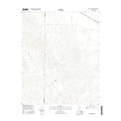
2016 Map of Buffalo Arroyo
USGS Topo · Published 2016About this map
Sheldon Ranch sits in the northern reaches of this landscape, marking a human footprint in a region defined by an intricate network of Texas Panhandle drainage systems. The terrain is deeply carved by watercourses, with Buffalo Arroyo and Willow Arroyo cutting through the center and west. This 2016 survey illustrates the rugged watershed boundary between Armstrong Co and Donley Co, where numerous tributaries converge. Waterways such as McCullum Cr, Mulberry Cr, and Hackberry Cr create a complex pattern of erosion and relief. The cattle ranching heritage of the area is represented by the isolated ranchstead and a sparse grid of rural routes, including Ranch Rd 2362 and various county roads that navigate the breaks and plains.
Find a feature on this map
20 named features on this map. Tap any name to fly to it.
Don’t see what you’re looking for? This feature index may not catch every label — zoom into the map to look around manually.
Map Details
Editions of this 2016 Buffalo Arroyo Map
This is the sole edition of this map. No revisions or reprints were ever made.
Other maps of this area

1954 · Amarillo
USGS Topo · 1:250,000

1954 · Plainview
USGS Topo · 1:250,000

1958 · Amarillo
USGS Topo · 1:250,000

1958 · Plainview
USGS Topo · 1:250,000

1960 · Groom
USGS Topo · 1:62,500

1962 · Roach Ranch
USGS Topo · 1:24,000

1963 · Blue Hole Springs
USGS Topo · 1:24,000

1963 · Clarendon
USGS Topo · 1:24,000

1963 · Buffalo Arroyo
USGS Topo · 1:24,000

1963 · Paloduro
USGS Topo · 1:24,000