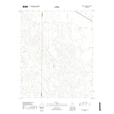
2019 Map of Buffalo Arroyo
USGS Topo · Published 2019About this map
Mulberry Cr and its complex network of seasonal tributaries dominate this high plains landscape along the border of Armstrong and Donley Counties. The terrain is defined by deep erosion patterns and arroyos, including the prominent Buffalo Arroyo and Willow Arroyo, which carve through the ranchlands of the Texas Panhandle. Settlement is sparse, characterized by large territorial holdings such as the Sheldon Ranch and Roach Ranch.
Find a feature on this map
22 named features on this map. Tap any name to fly to it.
Don’t see what you’re looking for? This feature index may not catch every label — zoom into the map to look around manually.
Map Details
Editions of this 2019 Buffalo Arroyo Map
This is the sole edition of this map. No revisions or reprints were ever made.
Other maps of this area

1954 · Amarillo
USGS Topo · 1:250,000

1954 · Plainview
USGS Topo · 1:250,000

1958 · Amarillo
USGS Topo · 1:250,000

1958 · Plainview
USGS Topo · 1:250,000

1960 · Groom
USGS Topo · 1:62,500

1962 · Roach Ranch
USGS Topo · 1:24,000

1963 · Blue Hole Springs
USGS Topo · 1:24,000

1963 · Clarendon
USGS Topo · 1:24,000

1963 · Buffalo Arroyo
USGS Topo · 1:24,000

1963 · Paloduro
USGS Topo · 1:24,000