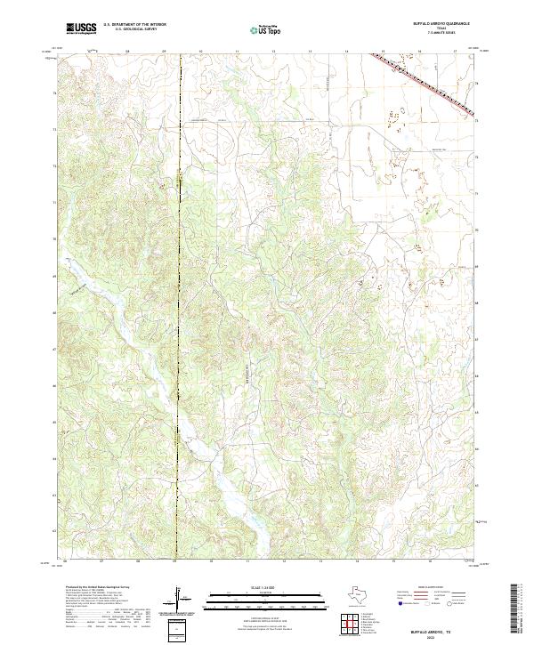
2022 Map of Buffalo Arroyo
USGS Topo · Published 2022About this map
Sheldon Ranch sits in the northern reaches of this Panhandle landscape, where the high plains break into a complex system of drainage basins. The boundary between Armstrong Co and Donley Co bisects the terrain, marking a transition from the flatter tablelands to the dissected breaks of the eastern Caprock. This area is defined by its seasonal waterways, most notably the winding Mulberry Creek and the eponymous Buffalo Arroyo, which carve deep into the earth alongside Willow Arroyo.
Find a feature on this map
22 named features on this map. Tap any name to fly to it.
Don’t see what you’re looking for? This feature index may not catch every label — zoom into the map to look around manually.
Map Details
Editions of this 2022 Buffalo Arroyo Map
This is the sole edition of this map. No revisions or reprints were ever made.
Other maps of this area

1954 · Amarillo
USGS Topo · 1:250,000

1954 · Plainview
USGS Topo · 1:250,000

1958 · Amarillo
USGS Topo · 1:250,000

1958 · Plainview
USGS Topo · 1:250,000

1960 · Groom
USGS Topo · 1:62,500

1962 · Roach Ranch
USGS Topo · 1:24,000

1963 · Blue Hole Springs
USGS Topo · 1:24,000

1963 · Clarendon
USGS Topo · 1:24,000

1963 · Buffalo Arroyo
USGS Topo · 1:24,000

1963 · Paloduro
USGS Topo · 1:24,000