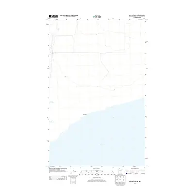
2013 Map of Buffalo Bay NE
USGS Topo · Published 2013About this map
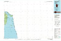
Lake of the Woods dominates this northern frontier, where the international waters meet the remote shores of Lake of the Woods County. The landscape is defined by the expansive lakefront and the winding path of Stony Cr, which flows through the northern timberlands toward the lake. At Sandy Beach, the shoreline provides a rare break in the coastal topography, while the inland area is marked by industrial and residential history at the Boise Cascade Camp. This 2013 survey provides a clear view of the water boundaries and simple road network that supports the region's logging and recreational heritage along the Canadian border.
Find a feature on this map
4 named features on this map. Tap any name to fly to it.
Don’t see what you’re looking for? This feature index may not catch every label — zoom into the map to look around manually.
Map Details
Editions of this 2013 Buffalo Bay NE Map
This is the sole edition of this map. No revisions or reprints were ever made.
Other maps of this area

1918 · Buffalo Bay
USGS Topo · 1:62,500
1918 · Oak Island
USGS Topo · 1:62,500

1963 · Kenora
USGS Topo · 1:250,000
1967 · Flag Island
USGS Topo · 1:24,000
1967 · Buffalo Bay NW
USGS Topo · 1:24,000
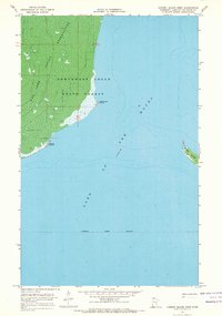
1967 · Garden Island West
USGS Topo · 1:24,000
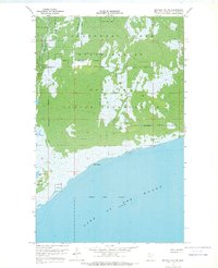
1967 · Buffalo Bay NE
USGS Topo · 1:24,000
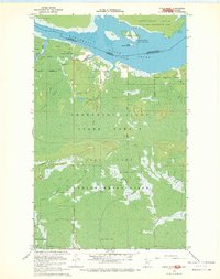
1967 · Angle Inlet
USGS Topo · 1:24,000
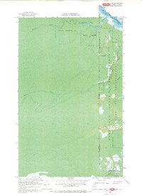
1967 · Angle Inlet SW
USGS Topo · 1:24,000
1985 · Oak Island
USGS Topo · 1:100,000