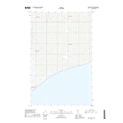
2019 Map of Buffalo Bay NE
USGS Topo · Published 2019About this map
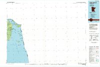
The remote wetland expanse of the Angle Inlet region is documented in this 2019 survey, where the northernmost reaches of Minnesota meet the international boundary. This specific quadrangle covers a landscape dominated by extensive marshes and the seasonal flow of Stony Cr. The map details the Public Land Survey System township and range lines, including T167n R35w and T167n R34w, which define the administrative geography of this isolated corner of Lake of the Woods County. The shoreline of Buffalo Bay occupies the southern portion of the sheet, illustrating the low-lying coastal character of the area where the forest and bog transition into the waters of Lake of the Woods. With no roads or structures printed on the map, the data focuses on the intricate hydrography and the precise boundaries that govern this undeveloped northern terrain.
Find a feature on this map
6 named features on this map. Tap any name to fly to it.
Don’t see what you’re looking for? This feature index may not catch every label — zoom into the map to look around manually.
Map Details
Editions of this 2019 Buffalo Bay NE Map
This is the sole edition of this map. No revisions or reprints were ever made.
Other maps of this area

1918 · Buffalo Bay
USGS Topo · 1:62,500
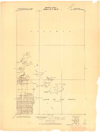
1918 · Oak Island
USGS Topo · 1:62,500

1963 · Kenora
USGS Topo · 1:250,000
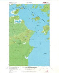
1967 · Flag Island
USGS Topo · 1:24,000
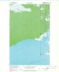
1967 · Buffalo Bay NW
USGS Topo · 1:24,000
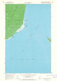
1967 · Garden Island West
USGS Topo · 1:24,000
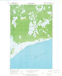
1967 · Buffalo Bay NE
USGS Topo · 1:24,000
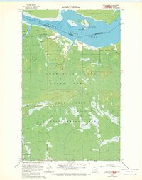
1967 · Angle Inlet
USGS Topo · 1:24,000
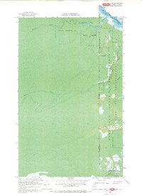
1967 · Angle Inlet SW
USGS Topo · 1:24,000
1985 · Oak Island
USGS Topo · 1:100,000