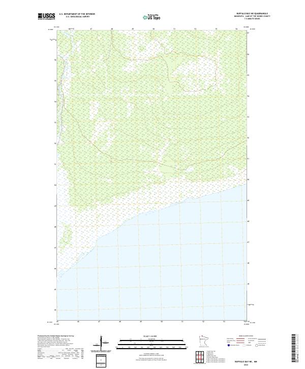
2022 Map of Buffalo Bay NE
USGS Topo · Published 2022About this map
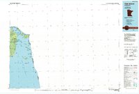
Stony Creek flows through the remote northern wetlands of Lake of the Woods County in this 2022 survey. This portion of the Northwest Angle is defined by its nearly continuous wetland terrain, where the landscape is structured primarily by the public land survey system divisions like t167n r35w and t166n r34w. The map depicts the international boundary along the southern edge, illustrating the precise transition between the wooded marshlands of Minnesota and the waters of Buffalo Bay. Because there are no roads or settlements, the topography serves as a pure record of the natural hydrography and original township lines that govern this unique geographic exclave.
Find a feature on this map
6 named features on this map. Tap any name to fly to it.
Don’t see what you’re looking for? This feature index may not catch every label — zoom into the map to look around manually.
Map Details
Editions of this 2022 Buffalo Bay NE Map
This is the sole edition of this map. No revisions or reprints were ever made.
Other maps of this area

1918 · Buffalo Bay
USGS Topo · 1:62,500
1918 · Oak Island
USGS Topo · 1:62,500

1963 · Kenora
USGS Topo · 1:250,000
1967 · Flag Island
USGS Topo · 1:24,000
1967 · Buffalo Bay NW
USGS Topo · 1:24,000
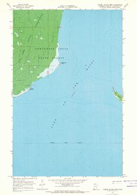
1967 · Garden Island West
USGS Topo · 1:24,000
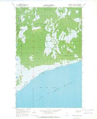
1967 · Buffalo Bay NE
USGS Topo · 1:24,000
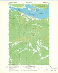
1967 · Angle Inlet
USGS Topo · 1:24,000
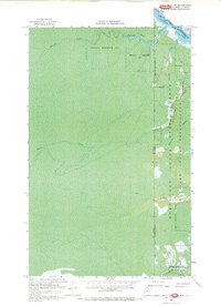
1967 · Angle Inlet SW
USGS Topo · 1:24,000
1985 · Oak Island
USGS Topo · 1:100,000