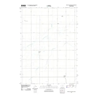
2010 Map of Buffalo Center NE
USGS Topo · Published 2010About this map
Amund sits at the intersection of 90th Ave and 490th St, anchoring this agricultural landscape in northern Winnebago County. The terrain is defined by a strictly organized section-line road grid that segments the fertile prairie, where drainage is managed by systems like Drainage Ditch Number 64. Significant watercourses such as the Middle Branch Blue Earth River and Little Buffalo Creek meander across these boundaries, reflecting the area's natural hydrology within the heavily cultivated interior. Local history is grounded at the Eden Township Cemetery in the northeast, while the Friesenborg and Larson Airport suggests the continued importance of private aviation in rural Iowa. Along the southern edge, the Thompson Roadside Prairie preserves a remnant of the native landscape amidst the vast network of township roads.
Find a feature on this map
25 named features on this map. Tap any name to fly to it.
Don’t see what you’re looking for? This feature index may not catch every label — zoom into the map to look around manually.
Map Details
Editions of this 2010 Buffalo Center NE Map
This is the sole edition of this map. No revisions or reprints were ever made.
Other maps of this area

1954 · Mason City
USGS Topo · 1:250,000

1955 · Bricelyn
USGS Topo · 1:62,500

1955 · Wells
USGS Topo · 1:62,500

1957 · Mason City
USGS Topo · 1:250,000

1958 · Mason City
USGS Topo · 1:250,000

1972 · Buffalo Center
USGS Topo · 1:24,000

1972 · Buffalo Center SW
USGS Topo · 1:24,000

1972 · Forest City
USGS Topo · 1:24,000

1972 · Buffalo Center NE
USGS Topo · 1:24,000

1972 · Vinje
USGS Topo · 1:24,000