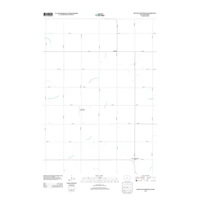
2013 Map of Buffalo Center NE
USGS Topo · Published 2013About this map
Amund sits near the northern boundary of this agricultural landscape in Winnebago County, Iowa, just south of the Minnesota state line. The terrain is defined by a rigid grid of rural roads and managed water systems designed for intensive prairie farming. Significant waterways like the Middle Br Blue Earth River and Little Buffalo Cr wind across the section lines, while the presence of Drainage Ditch Number 64 reflects the long-standing engineering required to maintain this productive cropland.
Find a feature on this map
22 named features on this map. Tap any name to fly to it.
Don’t see what you’re looking for? This feature index may not catch every label — zoom into the map to look around manually.
Map Details
Editions of this 2013 Buffalo Center NE Map
This is the sole edition of this map. No revisions or reprints were ever made.
Other maps of this area

1954 · Mason City
USGS Topo · 1:250,000

1955 · Bricelyn
USGS Topo · 1:62,500

1955 · Wells
USGS Topo · 1:62,500

1957 · Mason City
USGS Topo · 1:250,000

1958 · Mason City
USGS Topo · 1:250,000

1972 · Buffalo Center
USGS Topo · 1:24,000

1972 · Buffalo Center SW
USGS Topo · 1:24,000

1972 · Forest City
USGS Topo · 1:24,000

1972 · Buffalo Center NE
USGS Topo · 1:24,000

1972 · Vinje
USGS Topo · 1:24,000