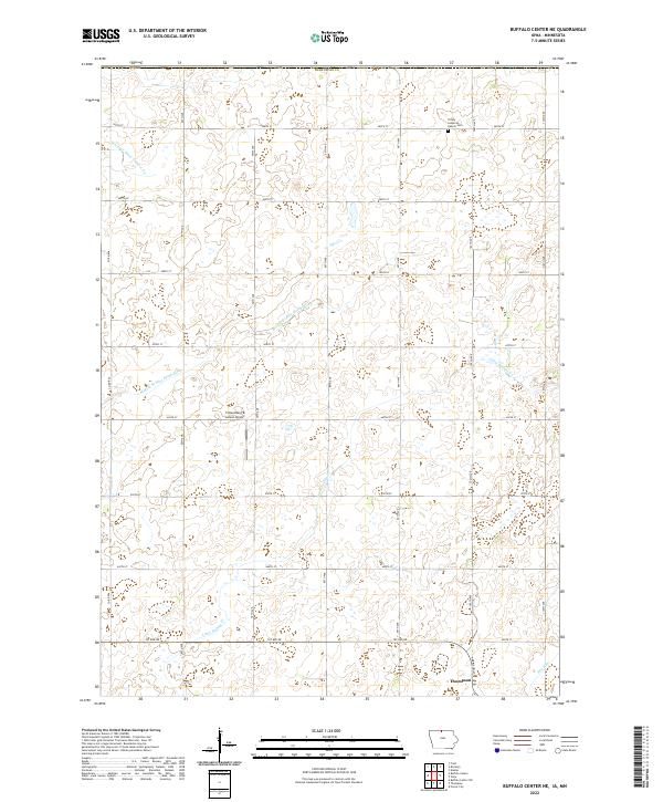
2022 Map of Buffalo Center NE
USGS Topo · Published 2022About this map
The town of Thompson occupies the southern edge of this Winnebago County landscape, where the grid of rural roads meets the headwaters of the northern prairies. In this agricultural region, water management is central to the land's utility, evidenced by the channelized path of Drainage Ditch Number 64 and the meandering reaches of Middle Br Blue Earth River and Little Buffalo Cr. These waterways dictate the flow of a terrain otherwise defined by the systematic township and range boundaries of t100n r25w and its neighbors.
Find a feature on this map
31 named features on this map. Tap any name to fly to it.
Don’t see what you’re looking for? This feature index may not catch every label — zoom into the map to look around manually.
Map Details
Editions of this 2022 Buffalo Center NE Map
This is the sole edition of this map. No revisions or reprints were ever made.
Other maps of this area

1954 · Mason City
USGS Topo · 1:250,000

1955 · Bricelyn
USGS Topo · 1:62,500

1955 · Wells
USGS Topo · 1:62,500

1957 · Mason City
USGS Topo · 1:250,000

1958 · Mason City
USGS Topo · 1:250,000

1972 · Buffalo Center
USGS Topo · 1:24,000

1972 · Buffalo Center SW
USGS Topo · 1:24,000

1972 · Forest City
USGS Topo · 1:24,000

1972 · Buffalo Center NE
USGS Topo · 1:24,000

1972 · Vinje
USGS Topo · 1:24,000