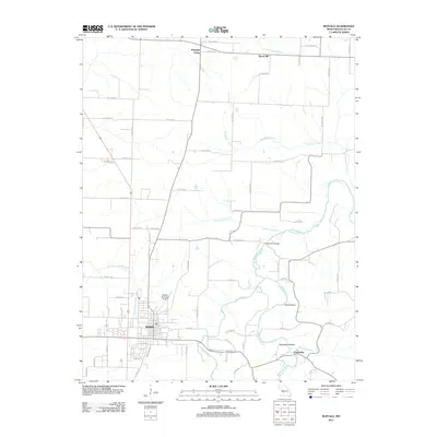
2011 Map of Buffalo
USGS Topo · Published 2011About this map
The Buffalo settlement serves as the central hub for this portion of Dallas County, where the local street grid intersects with regional routes. To the north, the smaller community of Pumpkin Center and the Wood Hill area define the rural landscape, characterized by a network of county roads such as Co RD-73-105 and Co RD-73-120. The geography is shaped by the winding courses of the Niangua River and Little Niangua River, which are joined by numerous tributaries including Durington Creek, Raccoon Branch, and Greasy Creek.
Find a feature on this map
72 named features on this map. Tap any name to fly to it.
Don’t see what you’re looking for? This feature index may not catch every label — zoom into the map to look around manually.
Map Details
Editions of this 2011 Buffalo Map
This is the sole edition of this map. No revisions or reprints were ever made.
Other maps of this area

1884 · Bolivar
USGS Topo · 1:125,000

1892 · Bolivar
USGS Topo · 1:125,000

1934 · Macks Creek
USGS Topo · 1:48,000

1939 · Macks Creek
USGS Topo · 1:62,500

1939 · Long Lane
USGS Topo · 1:62,500

1942 · Long Lane
USGS Topo · 1:62,500

1950 · Buffalo NW
USGS Topo · 1:24,000

1950 · Urbana
USGS Topo · 1:24,000

1951 · Buffalo NW
USGS Topo · 1:24,000

1951 · Urbana
USGS Topo · 1:24,000