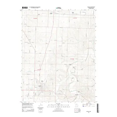
2015 Map of Buffalo
USGS Topo · Published 2015About this map
The Niangua River and Little Niangua River carve through this portion of Dallas County, shaping a landscape where agriculture and aviation meet. The town of Buffalo serves as the central hub, supported by the Buffalo Municipal Airport and a network of rural routes like Stagecoach Trl and Rainbow Rd. To the north, the small settlement of Pumpkin Center and the rise of Wood Hill mark the transition toward the river valley, while Cloverdale sits near the southern edge of the survey area. Genealogists will find several burial grounds documented, including New Hope Cemetery, Union Home Cemetery, and the Riverview-Sweaney Cemetery near the river banks. Landmark infrastructure like the Watermill Bridge over the Niangua provides evidence of historic crossings in a region defined by its numerous drainages, such as Greasy Creek and Little Lindley Creek.
Find a feature on this map
70 named features on this map. Tap any name to fly to it.
Don’t see what you’re looking for? This feature index may not catch every label — zoom into the map to look around manually.
Map Details
Editions of this 2015 Buffalo Map
This is the sole edition of this map. No revisions or reprints were ever made.
Other maps of this area

1884 · Bolivar
USGS Topo · 1:125,000

1892 · Bolivar
USGS Topo · 1:125,000

1934 · Macks Creek
USGS Topo · 1:48,000

1939 · Macks Creek
USGS Topo · 1:62,500

1939 · Long Lane
USGS Topo · 1:62,500

1942 · Long Lane
USGS Topo · 1:62,500

1950 · Buffalo NW
USGS Topo · 1:24,000

1950 · Urbana
USGS Topo · 1:24,000

1951 · Buffalo NW
USGS Topo · 1:24,000

1951 · Urbana
USGS Topo · 1:24,000