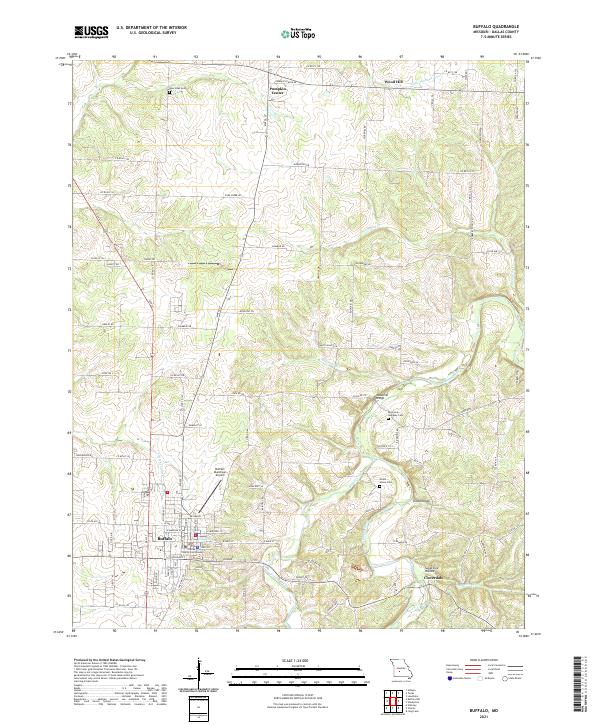
2021 Map of Buffalo
USGS Topo · Published 2021About this map
The County Courthouse in Buffalo anchors this survey of central Dallas County, where the Ozark plateau begins to fracture into the river valleys of the Niangua watershed. The landscape is defined by the winding course of the Niangua River and its northern counterpart, the Little Niangua River, which cut through the terrain to create distinctive features like Todd Hollow and Sugartree Hollow. These waterways were central to early local infrastructure, as evidenced by the Watermill Bridge spanning a tributary of the Niangua.
Find a feature on this map
86 named features on this map. Tap any name to fly to it.
Don’t see what you’re looking for? This feature index may not catch every label — zoom into the map to look around manually.
Map Details
Editions of this 2021 Buffalo Map
This is the sole edition of this map. No revisions or reprints were ever made.
Other maps of this area

1884 · Bolivar
USGS Topo · 1:125,000

1892 · Bolivar
USGS Topo · 1:125,000

1934 · Macks Creek
USGS Topo · 1:48,000

1939 · Macks Creek
USGS Topo · 1:62,500

1939 · Long Lane
USGS Topo · 1:62,500

1942 · Long Lane
USGS Topo · 1:62,500

1950 · Buffalo NW
USGS Topo · 1:24,000

1950 · Urbana
USGS Topo · 1:24,000

1951 · Buffalo NW
USGS Topo · 1:24,000

1951 · Urbana
USGS Topo · 1:24,000