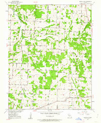
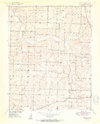
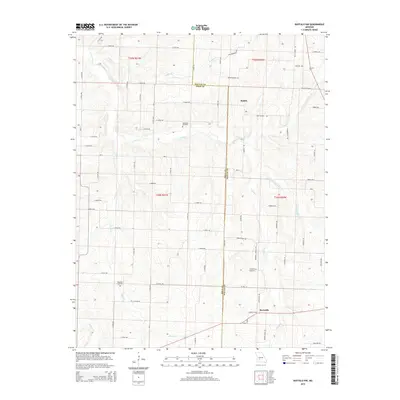
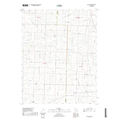
1950 Map of Buffalo NW
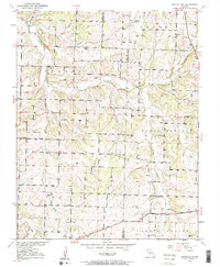
USGS Topo · Published 1963About this map
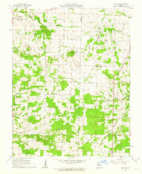
Lindley Creek and its tributaries, including Jordan Creek and Brush Creek, define the landscape of this rural Missouri region as it appeared mid-century. The area is characterized by a dense network of local civic landmarks, reflecting a community organized around family-named schools and small country churches. This 1950 survey, based on aerial photographs from 1938, captures the rural infrastructure before significant modern consolidation.
Find a feature on this map
20 named features on this map. Tap any name to fly to it.
Don’t see what you’re looking for? This feature index may not catch every label — zoom into the map to look around manually.
Map Details
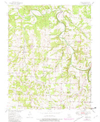
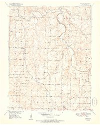
Editions of this 1950 Buffalo NW Map
2 editions found
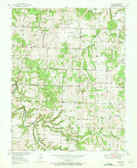
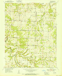
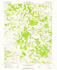
Historical Maps of Halfway Through Time
24 maps found
1950 Buffalo NW
Polk County, MO
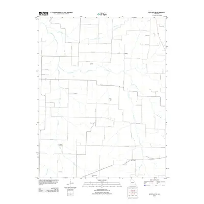
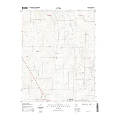
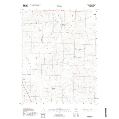
1950 Cliquot
Polk County, MO
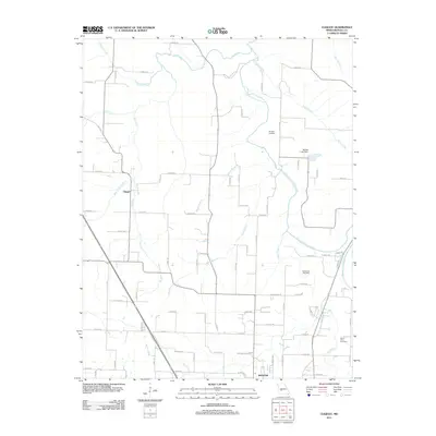
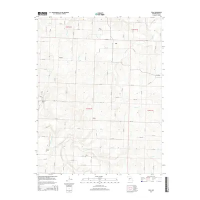
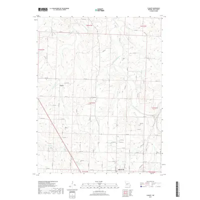
1950 Polk
Polk County, MO
1951 Buffalo NW
Polk County, MO
1951 Cliquot
Polk County, MO
1951 Polk
Polk County, MO
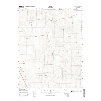
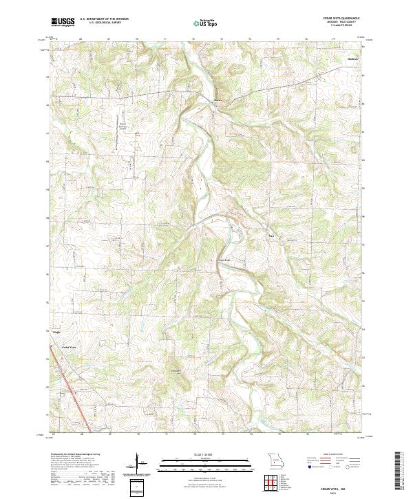
1961 Cedar Vista
Polk County, MO
1961 Half Way
Polk County, MO
2011 Buffalo NW
Polk County, MO

2011 Cedar Vista
Polk County, MO
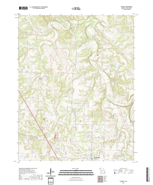
2011 Cliquot
Polk County, MO
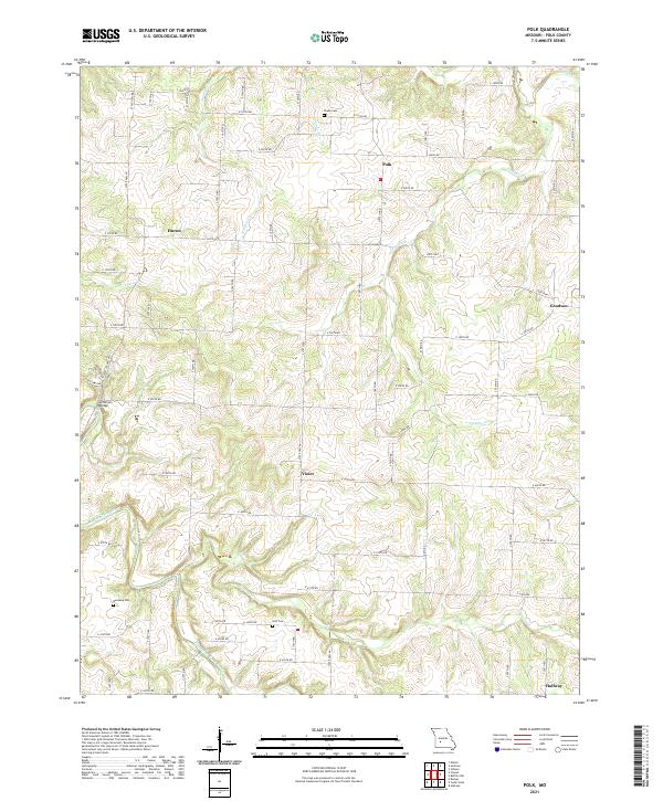
2011 Polk
Polk County, MO
2015 Buffalo NW
Polk County, MO
2015 Cedar Vista
Polk County, MO
2015 Cliquot
Polk County, MO
2015 Polk
Polk County, MO
2017 Buffalo NW
Polk County, MO
2017 Cedar Vista
Polk County, MO
2017 Cliquot
Polk County, MO
2017 Polk
Polk County, MO

2021 Buffalo NW
Polk County, MO
2021 Cedar Vista
Polk County, MO
2021 Cliquot
Polk County, MO
2021 Polk
Polk County, MO