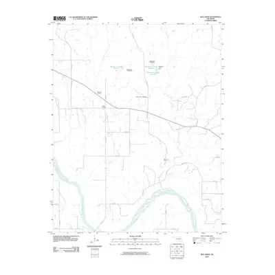
2009 Map of Bug Creek
USGS Topo · Published 2009About this map
The Arkansas River winds through the southern reaches of this Pawnee County landscape, defining a riparian corridor fed by Sycamore Creek and Bug Creek. This 2009 survey reveals a rural territory structured by a precise grid of county roads, where small-scale water management is evident in several numbered reservoirs such as Oknoname 113109 Reservoir and Oknoname 113108 Reservoir. These impoundments, managed by named structures like Oknoname 113109 Dam, illustrate the modern hydrological engineering necessary for local agricultural or conservation needs in the early 21st century.
Find a feature on this map
35 named features on this map. Tap any name to fly to it.
Don’t see what you’re looking for? This feature index may not catch every label — zoom into the map to look around manually.
Map Details
Editions of this 2009 Bug Creek Map
This is the sole edition of this map. No revisions or reprints were ever made.
Other maps of this area

1909 · Pawhuska
USGS Topo · 1:125,000

1910 · Pawhuska
USGS Topo · 1:125,000

1912 · Hominy
USGS Topo · 1:125,000

1915 · Hominy
USGS Topo · 1:125,000

1915 · Hominy
USGS Topo · 1:62,500

1929 · Skedee
USGS Topo · 1:62,500

1931 · Skedee
USGS Topo · 1:62,500

1932 · Fairfax
USGS Topo · 1:62,500

1955 · Enid
USGS Topo · 1:250,000

1958 · Enid
USGS Topo · 1:250,000