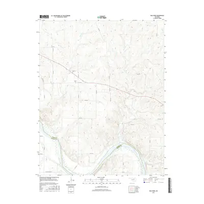
2016 Map of Bug Creek
USGS Topo · Published 2016About this map
The Arkansas River defines the southern boundary of this landscape, winding through a series of sharp bends that separate the terrain of Osage Co and Pawnee Co. This rural region is characterized by a network of drainage systems, including the namesake Bug Creek and Sycamore Cr, which carve through the elevations before meeting the river. The map reveals a high concentration of county roads, such as Co RD 5320 and Blackburn-Skedee Rd, which provide access to the upland pastures and small valleys.
Find a feature on this map
31 named features on this map. Tap any name to fly to it.
Don’t see what you’re looking for? This feature index may not catch every label — zoom into the map to look around manually.
Map Details
Editions of this 2016 Bug Creek Map
This is the sole edition of this map. No revisions or reprints were ever made.
Other maps of this area

1909 · Pawhuska
USGS Topo · 1:125,000

1910 · Pawhuska
USGS Topo · 1:125,000

1912 · Hominy
USGS Topo · 1:125,000

1915 · Hominy
USGS Topo · 1:125,000

1915 · Hominy
USGS Topo · 1:62,500

1929 · Skedee
USGS Topo · 1:62,500

1931 · Skedee
USGS Topo · 1:62,500

1932 · Fairfax
USGS Topo · 1:62,500

1955 · Enid
USGS Topo · 1:250,000

1958 · Enid
USGS Topo · 1:250,000