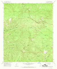
1965 Map of Bull Basin
USGS Topo · Published 1969About this map
The San Francisco Mountains define this high-altitude landscape in western Catron County, where the boundaries of the Apache National Forest and Gila National Forest meet. This mid-1960s survey reveals a remote wilderness terrain organized around deep drainage systems like Saliz Canyon and Dry Leggett Canyon. Human presence is marked by isolated outposts and livestock infrastructure, including the Pine Lawn Camp and Leggett Cabin, alongside water improvements such as Bell Park Tank and Leggett Pasture Tank. The topography is exceptionally varied, rising to prominent points like Joe Green Peak and Prairie Point Peak. A network of historic Pack Trails indicates the traditional movement of people and animals through these steep ridges and basins, connecting features like Black Bull Saddle and the curiously named Dangerous Park.
Find a feature on this map
49 named features on this map. Tap any name to fly to it.
Don’t see what you’re looking for? This feature index may not catch every label — zoom into the map to look around manually.
Map Details
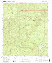
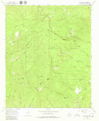
Editions of this 1965 Bull Basin Map
3 editions found
Other maps of this area

1915 · Reserve
USGS Topo · 1:125,000

1918 · Reserve
USGS Topo · 1:125,000

1922 · Nutrioso
USGS Topo · 1:125,000

1954 · Clifton
USGS Topo · 1:250,000

1957 · Clifton
USGS Topo · 1:250,000

1958 · Clifton
USGS Topo · 1:250,000

1958 · Alpine
USGS Topo · 1:62,500

1961 · Blue
USGS Topo · 1:62,500

1962 · Clifton
USGS Topo · 1:250,000
1963 · Saliz Pass
USGS Topo · 1:24,000