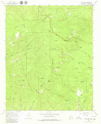
1965 Map of Bull Basin
USGS Topo · Published 1980About this map
The San Francisco Mountains dominate this high-altitude terrain within the Gila National Forest, characterized by a complex network of canyons and high summits. Cattle ranching and backcountry survival are evident in the landscape's nomenclature, with features like Heifer Basin, Bull Basin, and the Leggett Pasture Tank. Numerous water sources, essential for both livestock and early inhabitants, are scattered throughout the region, including Nutt Spring, Flying V Spring, and the high-elevation Dave Lee Lake.
Find a feature on this map
50 named features on this map. Tap any name to fly to it.
Don’t see what you’re looking for? This feature index may not catch every label — zoom into the map to look around manually.
Map Details
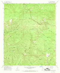
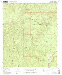
Editions of this 1965 Bull Basin Map
3 editions found
Other maps of this area

1915 · Reserve
USGS Topo · 1:125,000

1918 · Reserve
USGS Topo · 1:125,000

1922 · Nutrioso
USGS Topo · 1:125,000

1954 · Clifton
USGS Topo · 1:250,000

1957 · Clifton
USGS Topo · 1:250,000

1958 · Clifton
USGS Topo · 1:250,000

1958 · Alpine
USGS Topo · 1:62,500

1961 · Blue
USGS Topo · 1:62,500

1962 · Clifton
USGS Topo · 1:250,000
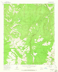
1963 · Saliz Pass
USGS Topo · 1:24,000