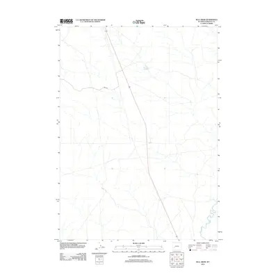
2012 Map of Bull Draw
USGS Topo · Published 2012About this map
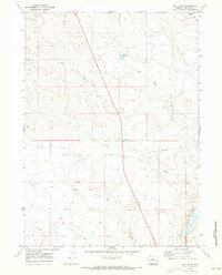
U.S. Route 191 cuts a long, straight path across this high desert landscape in Sublette County, serving as a primary artery through the open rangeland north of the Farson area. The terrain is defined by the ephemeral drainage patterns typical of this Wyoming basin, where water management is crucial for the local ecosystem and grazing. Notable water features include the Mud Hole Reservoir, a small catchment for the region's sparse precipitation, and the Big Sandy River, which meanders through the southeast corner of the map. Access to the interior is provided by Bureau of Land Management routes, such as Blm 5409, which branch off the highway to serve the surrounding public lands.
Find a feature on this map
4 named features on this map. Tap any name to fly to it.
Don’t see what you’re looking for? This feature index may not catch every label — zoom into the map to look around manually.
Map Details
Editions of this 2012 Bull Draw Map
This is the sole edition of this map. No revisions or reprints were ever made.
Other maps of this area

1955 · Lander
USGS Topo · 1:250,000

1958 · Lander
USGS Topo · 1:250,000

1961 · Lander
USGS Topo · 1:250,000
1964 · Square Top
USGS Topo · 1:24,000
1969 · Juel Spring
USGS Topo · 1:24,000
1969 · Teakettle Butte
USGS Topo · 1:24,000

1969 · Leckie SW
USGS Topo · 1:24,000
1969 · Bull Draw
USGS Topo · 1:24,000

1969 · Tabernacle Butte
USGS Topo · 1:24,000
1969 · Big Sandy Reservoir
USGS Topo · 1:24,000