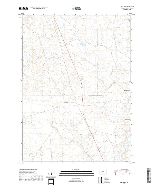
2021 Map of Bull Draw
USGS Topo · Published 2021About this map
Big Sandy River meanders through the southeastern corner of this Sublette County landscape, defining the local hydrology alongside a network of ephemeral drainages. The area is characterized by wide natural basins like Long Draw and Poston Draw, which channel seasonal water toward the larger river system. Human presence in this high-desert environment is primarily marked by land management and livestock infrastructure, including Mud Hole Reservoir and several remote ranch access routes. Local transportation is limited to established corridors such as Erramousepe Rd and Blm Rd 5409, which navigate the township lines of T29N and T28N. These features suggest a landscape dedicated to open-range grazing and resource management, where water sources like Water Hole Draw remain vital landmarks for navigation and land use.
Find a feature on this map
12 named features on this map. Tap any name to fly to it.
Don’t see what you’re looking for? This feature index may not catch every label — zoom into the map to look around manually.
Map Details
Editions of this 2021 Bull Draw Map
This is the sole edition of this map. No revisions or reprints were ever made.
Other maps of this area

1955 · Lander
USGS Topo · 1:250,000

1958 · Lander
USGS Topo · 1:250,000

1961 · Lander
USGS Topo · 1:250,000
1964 · Square Top
USGS Topo · 1:24,000
1969 · Juel Spring
USGS Topo · 1:24,000
1969 · Teakettle Butte
USGS Topo · 1:24,000

1969 · Leckie SW
USGS Topo · 1:24,000
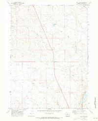
1969 · Bull Draw
USGS Topo · 1:24,000

1969 · Tabernacle Butte
USGS Topo · 1:24,000
1969 · Big Sandy Reservoir
USGS Topo · 1:24,000