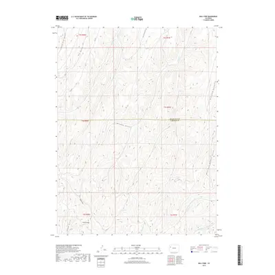
2019 Map of Bull Fork
USGS Topo · Published 2019About this map
Puddin Ridge stands as a prominent divide in this high-altitude drainage basin, where the Rio Blanco Co Garfield Co line bisects the complex network of deep-cut gulches. The terrain is defined by a dense radial drainage pattern feeding into the Bull Fork and W Fork Parachute Cr. The landscape is largely undeveloped, marked primarily by a few backcountry access routes like C R 87 and Co Rd 49. These roads wind through the headwaters of numerous seasonal streams, including Whiskey Gulch and Little Dry Gulch, indicating a region primarily utilized for range management or resource extraction. The intricate topography shown here illustrates the rugged watershed character of the Western Slope, with elevations and natural contours dictating the placement of primitive trails and boundaries.
Find a feature on this map
29 named features on this map. Tap any name to fly to it.
Don’t see what you’re looking for? This feature index may not catch every label — zoom into the map to look around manually.
Map Details
Editions of this 2019 Bull Fork Map
This is the sole edition of this map. No revisions or reprints were ever made.
Other maps of this area

1925 · Parachute Creek
USGS Topo · 1:62,500

1927 · Parachute Creek
USGS Topo · 1:62,500

1929 · Highmore
USGS Topo · 1:62,500

1952 · Yankee Gulch
USGS Topo · 1:24,000

1952 · Rock School
USGS Topo · 1:24,000

1952 · Jessup Gulch
USGS Topo · 1:24,000

1956 · Grand Junction
USGS Topo · 1:250,000

1959 · Grand Junction
USGS Topo · 1:250,000

1960 · Grand Junction
USGS Topo · 1:250,000

1962 · Grand Junction
USGS Topo · 1:250,000