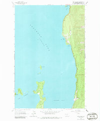
1964 Map of Bull Island
USGS Topo · Published 1986About this map
Flathead Lake dominates this mid-century topographic survey, showing the complex shoreline and islands of the lake's eastern side in Lake County. The landscape is defined by the transition from the water's edge at The Narrows to the rising terrain of the Mission Mountains foothills. Along the shore, the community of Blue Bay and the designated recreation area at Yellow Bay State Park represent the mid-1960s development of the region. The map captures a detailed hydrographic profile, with numerous seasonal and perennial streams like Talking Water Creek, Teepee Creek, and Boulder Creek draining into the lake. Notable landforms including Finley Point, Bull Island, and Bird Island are clearly delineated, providing a clear record of the shoreline and bathymetry as it appeared when field checked in 1964.
Find a feature on this map
21 named features on this map. Tap any name to fly to it.
Don’t see what you’re looking for? This feature index may not catch every label — zoom into the map to look around manually.
Map Details
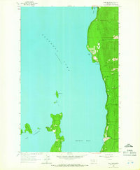
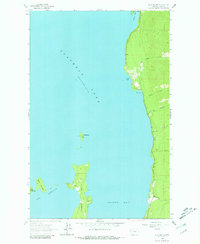
Editions of this 1964 Bull Island Map
4 editions found
Other maps of this area

1920 · Flathead Lake
USGS Topo · 1:125,000

1955 · Choteau
USGS Topo · 1:250,000

1956 · Wallace
USGS Topo · 1:250,000

1957 · Choteau
USGS Topo · 1:250,000

1958 · Choteau
USGS Topo · 1:250,000

1960 · Wallace
USGS Topo · 1:250,000

1962 · Choteau
USGS Topo · 1:250,000

1964 · Bull Island
USGS Topo · 1:24,000

1964 · Wild Horse Island
USGS Topo · 1:24,000

1964 · East Bay
USGS Topo · 1:24,000