
1964 Map of Bull Island
USGS Topo · Published 1964About this map
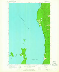
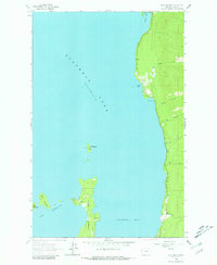
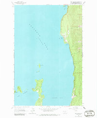
Flathead Lake dominates this mid-1960s study, showcasing the intricate shoreline where the water meets the Finley Point peninsula. The map details the complex geography of the southern lake region, specifically focused on the restricted passages of The Narrows and the clustering of landforms including Bull Island, Little Bull Island, and Bird Island. The eastern shore is characterized by a series of significant inlets such as Yellow Bay, Sunset Bay, and Blue Bay, which serve as catchments for drainage systems like Hellroaring Creek and Boulder Creek. A designated State Park at the northern edge of this sheet indicates early recreational development along the lakefront. Prepared for the Bureau of Indian Affairs, the survey illustrates the intersection of natural topography and managed lands within the reservation, capturing the specific shoreline configuration before later decades of development.
Find a feature on this map
17 named features on this map. Tap any name to fly to it.
Don’t see what you’re looking for? This feature index may not catch every label — zoom into the map to look around manually.
Map Details
Editions of this 1964 Bull Island Map
4 editions found
Other maps of this area

1920 · Flathead Lake
USGS Topo · 1:125,000

1955 · Choteau
USGS Topo · 1:250,000

1956 · Wallace
USGS Topo · 1:250,000

1957 · Choteau
USGS Topo · 1:250,000

1958 · Choteau
USGS Topo · 1:250,000

1960 · Wallace
USGS Topo · 1:250,000

1962 · Choteau
USGS Topo · 1:250,000

1964 · Wild Horse Island
USGS Topo · 1:24,000

1964 · East Bay
USGS Topo · 1:24,000
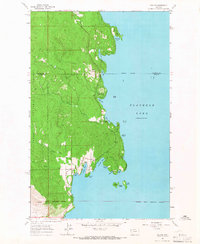
1964 · Rollins
USGS Topo · 1:24,000