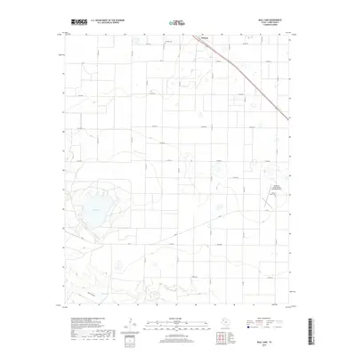
2019 Map of Bull Lake
USGS Topo · Published 2019About this map
Amherst sits at the northern edge of this West Texas landscape, positioned along a major transportation corridor that cuts diagonally through the Lamb County plains. The area is defined by its agricultural grid, where numerous county roads like Co RD 171 and Co RD 242 partition the terrain into expansive sections. A distinct natural depression characterizes the western portion of the map, centered on the wide basin of Bull Lake. This topographic feature is connected to Bull Draw and the smaller Bull Tank to the south, illustrating the drainage patterns of the Llano Estacado. Cultural landmarks include Fairlawn Cem near the town center and Sacred Heart Cem further south, adjacent to the Littlefield Taylor Brown Municipal Airport. These sites, along with the network of Farm to Market roads like FM 54 and FM 3216, reveal the intersection of rural life and aviation infrastructure in this corner of the Panhandle.
Find a feature on this map
29 named features on this map. Tap any name to fly to it.
Don’t see what you’re looking for? This feature index may not catch every label — zoom into the map to look around manually.
Map Details
Editions of this 2019 Bull Lake Map
This is the sole edition of this map. No revisions or reprints were ever made.
Other maps of this area

1954 · Clovis
USGS Topo · 1:250,000

1954 · Brownfield
USGS Topo · 1:250,000

1958 · Brownfield
USGS Topo · 1:250,000

1958 · Clovis
USGS Topo · 1:250,000

1962 · Brownfield
USGS Topo · 1:250,000

1962 · Amherst
USGS Topo · 1:24,000

1962 · Sudan
USGS Topo · 1:24,000

1962 · Cofferville
USGS Topo · 1:24,000

1964 · Oklahoma Flat
USGS Topo · 1:24,000

1964 · Littlefield
USGS Topo · 1:24,000