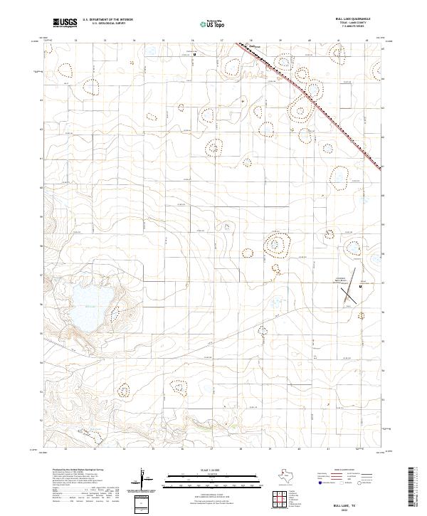
2022 Map of Bull Lake
USGS Topo · Published 2022About this map
Amherst anchors the northeastern portion of this High Plains landscape, situated where the local road network meets the diagonal transit corridor. The terrain is defined by the expansive Bull Lake, a significant water feature that provides a focal point for the surrounding topography. Extending from the lake's southern reaches, the drainage of Bull Draw snakes through the ranching and agricultural tracts, illustrating the natural hydrological patterns of Lamb County. This survey detail captures the geometric precision of the Texas panhandle’s grid system, where long stretches like Co RD 105 serve as the primary arteries connecting isolated homesteads to the community at Amherst. The map reveals a land structured by irrigation and large-scale land management, typical of the modern era in this region of the Llano Estacado.
Find a feature on this map
4 named features on this map. Tap any name to fly to it.
Don’t see what you’re looking for? This feature index may not catch every label — zoom into the map to look around manually.
Map Details
Editions of this 2022 Bull Lake Map
This is the sole edition of this map. No revisions or reprints were ever made.
Other maps of this area

1954 · Clovis
USGS Topo · 1:250,000

1954 · Brownfield
USGS Topo · 1:250,000

1958 · Brownfield
USGS Topo · 1:250,000

1958 · Clovis
USGS Topo · 1:250,000

1962 · Brownfield
USGS Topo · 1:250,000

1962 · Amherst
USGS Topo · 1:24,000

1962 · Sudan
USGS Topo · 1:24,000

1962 · Cofferville
USGS Topo · 1:24,000

1964 · Oklahoma Flat
USGS Topo · 1:24,000

1964 · Littlefield
USGS Topo · 1:24,000