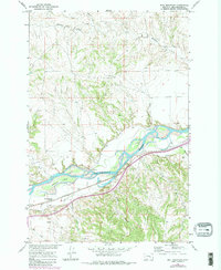
1967 Map of Bull Mountain
USGS Topo · Published 1980About this map
The Yellowstone River cuts a wide, braided path through this terrain, defining the northern boundary of the Bull Mountain area. This landscape is characterized by the complex irrigation network of the Waco Custer Canal and numerous seasonal drainages like Hibbard Creek and Rough Coulee. In the mid-1960s, human activity centered on the riverbanks and the Main Huntley corridor, where a Pumping Sta and a Landing Strip indicate the infrastructure necessary for managing this semi-arid region. Small-scale industrial traces, such as a Gravel Pit near the river, sit alongside natural features like Randalls Island. The topography transitions from the alluvial flats near Spring Creek to the dissected uplands of the Bull Mountain quadrangle, reflecting a landscape shaped by both water management and traditional ranching access.
Find a feature on this map
16 named features on this map. Tap any name to fly to it.
Don’t see what you’re looking for? This feature index may not catch every label — zoom into the map to look around manually.
Map Details
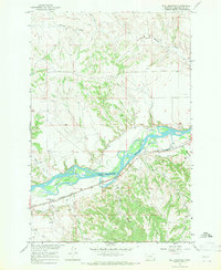
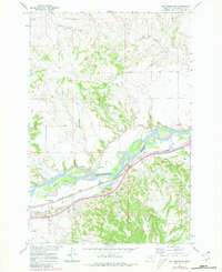
Editions of this 1967 Bull Mountain Map
3 editions found
Other maps of this area

1894 · Fort Custer
USGS Topo · 1:125,000

1954 · Hardin
USGS Topo · 1:250,000

1954 · Forsyth
USGS Topo · 1:250,000

1957 · Hardin
USGS Topo · 1:250,000

1957 · Forsyth
USGS Topo · 1:250,000

1958 · Forsyth
USGS Topo · 1:250,000

1958 · Hardin
USGS Topo · 1:250,000

1960 · Coal Bank Creek
USGS Topo · 1:24,000
1960 · Lemon Ranch
USGS Topo · 1:24,000

1960 · Waco
USGS Topo · 1:24,000