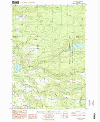
1985 Map of Bull Run
USGS Topo · Published 1986About this map
Mt Hood National Forest and the Bull Run Watershed Management Unit dominate this mid-1980s landscape, where the confluence of the Sandy River and the Bull Run River defines the regional geography. The map captures critical water infrastructure for the Portland area, including the Bull Run Reservoir No. 2 and the Marmot Dam. Settlement patterns follow the river valleys and primary roads, with the community of Sandy expanding near the southern border, while smaller locales like Cherryville, Firwood, and Marmat anchor the rural sections.
Find a feature on this map
42 named features on this map. Tap any name to fly to it.
Don’t see what you’re looking for? This feature index may not catch every label — zoom into the map to look around manually.
Map Details
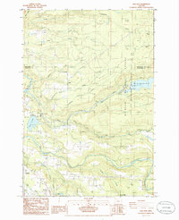
Editions of this 1985 Bull Run Map
2 editions found
Other maps of this area

1911 · Boring
USGS Topo · 1:48,000

1914 · Boring
USGS Topo · 1:62,500

1916 · Estacada
USGS Topo · 1:125,000

1918 · Troutdale
USGS Topo · 1:62,500

1934 · Troutdale
USGS Topo · 1:48,000

1940 · Boring
USGS Topo · 1:62,500

1941 · Camas
USGS Topo · 1:62,500

1942 · Camas
USGS Topo · 1:62,500

1948 · Vancouver
USGS Topo · 1:250,000

1950 · Vancouver
USGS Topo · 1:250,000