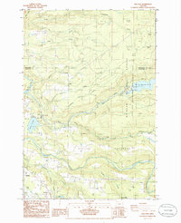
1985 Map of Bull Run
USGS Topo · Published 1986About this map
The Bull Run Watershed Management Unit and Mt Hood National Forest dominate the landscape of this 1980s survey, highlighting the critical intersection of water resources and timberlands. The area is defined by the flow of the Sandy River and the Bull Run River, which feed essential infrastructure like the Bull Run Reservoir No. 2 and Roslyn Lake. These water bodies are supported by a network of industrial and utility features, including the Little Sandy Dam, Marmot Dam, and various gaging stations.
Find a feature on this map
46 named features on this map. Tap any name to fly to it.
Don’t see what you’re looking for? This feature index may not catch every label — zoom into the map to look around manually.
Map Details
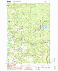
Editions of this 1985 Bull Run Map
2 editions found
Other maps of this area

1911 · Boring
USGS Topo · 1:48,000

1914 · Boring
USGS Topo · 1:62,500

1916 · Estacada
USGS Topo · 1:125,000

1918 · Troutdale
USGS Topo · 1:62,500

1934 · Troutdale
USGS Topo · 1:48,000

1940 · Boring
USGS Topo · 1:62,500

1941 · Camas
USGS Topo · 1:62,500

1942 · Camas
USGS Topo · 1:62,500

1948 · Vancouver
USGS Topo · 1:250,000

1950 · Vancouver
USGS Topo · 1:250,000