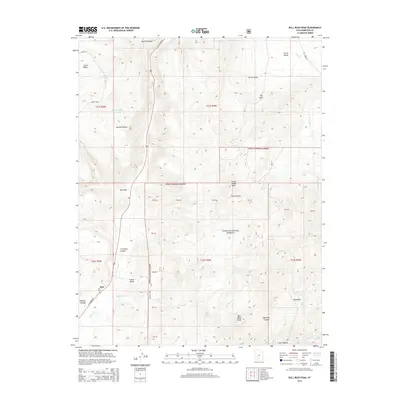
2014 Map of Bull Rush Peak
USGS Topo · Published 2014About this map
The Sevier River corridor anchors this portion of Garfield County, winding through the narrow Circleville Canyon and providing a vital water source for the small settlement at Spry. The terrain is defined by dramatic elevation changes, rising from the river valley into the high reaches of the Dixie National Forest, where landmarks like Horse Valley Peak and Bull Rush Peak overlook the surrounding basins.
Find a feature on this map
43 named features on this map. Tap any name to fly to it.
Don’t see what you’re looking for? This feature index may not catch every label — zoom into the map to look around manually.
Map Details
Editions of this 2014 Bull Rush Peak Map
This is the sole edition of this map. No revisions or reprints were ever made.
Other maps of this area

1885 · Beaver
USGS Topo · 1:250,000

1886 · Kanab
USGS Topo · 1:250,000

1953 · Richfield
USGS Topo · 1:250,000

1953 · Cedar City
USGS Topo · 1:250,000

1958 · Richfield
USGS Topo · 1:250,000

1958 · Cedar City
USGS Topo · 1:250,000

1962 · Cedar City
USGS Topo · 1:250,000

1966 · Bull Rush Peak
USGS Topo · 1:24,000

1966 · Circleville
USGS Topo · 1:24,000

1966 · Fremont Pass
USGS Topo · 1:24,000