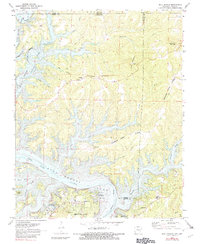
1972 Map of Bull Shoals
USGS Topo · Published 1982About this map
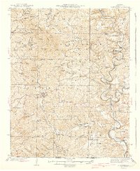
Bull Shoals Lake dominates this northern Arkansas landscape, where the waters of the White River meet the Missouri-Arkansas border. The map captures the region's mid-century development as a recreation and residential hub, centered around the incorporated communities of Bull Shoals and Lakeview. Cultural landmarks such as the Community Hall in Oakland and the Oakland School provide a look at the local civic infrastructure before further modernization.
Find a feature on this map
41 named features on this map. Tap any name to fly to it.
Don’t see what you’re looking for? This feature index may not catch every label — zoom into the map to look around manually.
Map Details
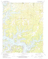
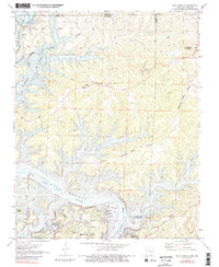
Editions of this 1972 Bull Shoals Map
3 editions found
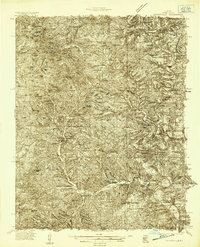
Other maps of this area

1890 · Mountain Home
USGS Topo · 1:125,000

1891 · Mountain Home
USGS Topo · 1:125,000

1893 · Yellville
USGS Topo · 1:125,000

1894 · Mountain Home
USGS Topo · 1:125,000

1903 · Yellville
USGS Topo · 1:125,000

1905 · Yellville
USGS Topo · 1:125,000

1929 · Yellville
USGS Topo · 1:125,000
1934 · Gainesville
USGS Topo · 1:48,000

1936 · Thornfield
USGS Topo · 1:48,000
1940 · Gainesville
USGS Topo · 1:62,500