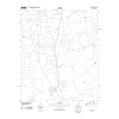
2010 Map of Bullard
USGS Topo · Published 2010About this map
Bullard and its surrounding communities in Smith County are defined by a network of rural settlements and family-linked landmarks. This 2010 survey illustrates the developed transportation corridors of Old Jacksonville Hwy and FM 346 W, which connect residential hubs like Gresham, Flint, and New Hope. The landscape is etched with local history, evidenced by a high density of rural burial grounds including Flint Cemetery, Rather Cemetery, and Crow Cemetery.
Find a feature on this map
87 named features on this map. Tap any name to fly to it.
Don’t see what you’re looking for? This feature index may not catch every label — zoom into the map to look around manually.
Map Details
Editions of this 2010 Bullard Map
This is the sole edition of this map. No revisions or reprints were ever made.
Other maps of this area

1937 · Troupe
USGS Topo · 1:48,000

1938 · Winona
USGS Topo · 1:48,000

1943 · Troup
USGS Topo · 1:62,500

1943 · Winona
USGS Topo · 1:62,500

1946 · Bullard
USGS Topo · 1:62,500

1948 · Bullard
USGS Topo · 1:62,500

1948 · Tyler
USGS Topo · 1:62,500

1949 · Tyler
USGS Topo · 1:62,500

1956 · Tyler
USGS Topo · 1:250,000

1966 · Chandler
USGS Topo · 1:24,000