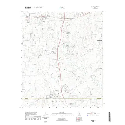
2019 Map of Bullard
USGS Topo · Published 2019About this map
S Broadway Ave serves as the primary north-south corridor through this portion of Smith and Cherokee Counties, connecting the southern reaches of Tyler through Gresham and Flint to the community of Bullard. The landscape is defined by the headwaters of numerous creeks and branches, including Henshaw Cr, W Mud Cr, and Shackleford Cr, which weave between the residential growth and small airfields like Pineridge Airport.
Find a feature on this map
41 named features on this map. Tap any name to fly to it.
Don’t see what you’re looking for? This feature index may not catch every label — zoom into the map to look around manually.
Map Details
Editions of this 2019 Bullard Map
This is the sole edition of this map. No revisions or reprints were ever made.
Other maps of this area
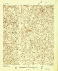
1937 · Troupe
USGS Topo · 1:48,000
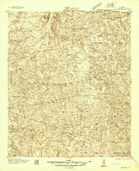
1938 · Winona
USGS Topo · 1:48,000
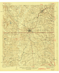
1943 · Troup
USGS Topo · 1:62,500
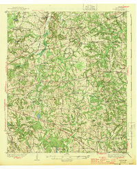
1943 · Winona
USGS Topo · 1:62,500
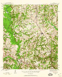
1946 · Bullard
USGS Topo · 1:62,500
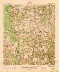
1948 · Bullard
USGS Topo · 1:62,500
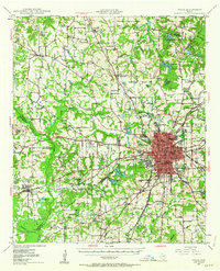
1948 · Tyler
USGS Topo · 1:62,500
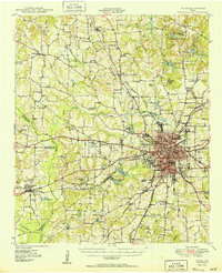
1949 · Tyler
USGS Topo · 1:62,500

1956 · Tyler
USGS Topo · 1:250,000
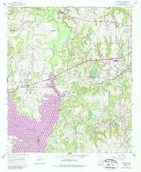
1966 · Chandler
USGS Topo · 1:24,000