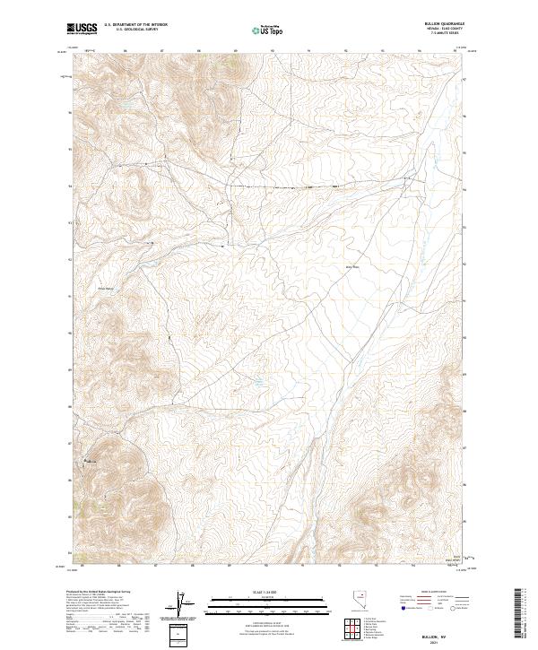
2021 Map of Bullion
USGS Topo · Published 2021About this map
Bullion sits within the high-elevation terrain of Elko County, marking a site deeply connected to the mineral history of the Piñon Range. This 2021 survey documents the complex topography of the region, where the rugged ridges give way to the expansive Dixie Flats. The presence of Potato Patch Spring and Emigrant Spring highlights the critical importance of water sources in this arid landscape, likely serving as essential stops for travelers or livestock throughout the area's development. To the east, the Dixie Hills rise above the drainage of Dixie Cr, showcasing a classic Great Basin environment of isolated peaks and broad basins. The map provides a contemporary record of these enduring geographic features and the lingering traces of human activity in the hills.
Find a feature on this map
13 named features on this map. Tap any name to fly to it.
Don’t see what you’re looking for? This feature index may not catch every label — zoom into the map to look around manually.
Map Details
Editions of this 2021 Bullion Map
This is the sole edition of this map. No revisions or reprints were ever made.
Other maps of this area

1934 · Jiggs
USGS Topo · 1:125,000

1937 · Jiggs
USGS Topo · 1:125,000

1952 · Dixie Flats
USGS Topo · 1:62,500

1952 · Pine Valley
USGS Topo · 1:62,500

1952 · Carlin
USGS Topo · 1:62,500

1955 · Winnemucca
USGS Topo · 1:250,000

1955 · Elko
USGS Topo · 1:250,000

1956 · Robinson Mtn
USGS Topo · 1:62,500

1958 · Winnemucca
USGS Topo · 1:250,000

1958 · Elko
USGS Topo · 1:250,000