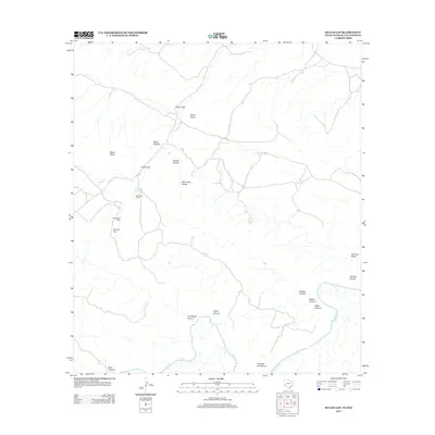
2013 Map of Bullis Gap
USGS Topo · Published 2013About this map
Bullis Gap and the Bullis Gap Range dominate this borderland landscape where the rugged West Texas terrain meets the Rio Grande. The area is defined by a complex network of dry watercourses and high points, including Cedar Gap, Mount Karen, and Wolfe Point. Human presence is sparse and focused on ranching and seasonal camps, evidenced by Bullis Gap Ranch and the Valdez Goat Camp. These sites, along with artificial water sources like Bullis Gap Tank and Britton Tank, illustrate the critical infrastructure required for survival and livestock management in this arid environment. The map provides a detailed look at the numerous canyons draining toward the river, such as Las Yeguas Canyon, Silber Canyon, and Haack Canyon, which carve through the limestone geology of the Big Bend region.
Find a feature on this map
22 named features on this map. Tap any name to fly to it.
Don’t see what you’re looking for? This feature index may not catch every label — zoom into the map to look around manually.
Map Details
Editions of this 2013 Bullis Gap Map
This is the sole edition of this map. No revisions or reprints were ever made.
Other maps of this area

1918 · Reagan Canyon
USGS Topo · 1:62,500

1918 · Bullis Gap
USGS Topo · 1:62,500

1918 · Indian Wells
USGS Topo · 1:62,500

1959 · Emory Peak
USGS Topo · 1:250,000

1965 · Emory Peak
USGS Topo · 1:250,000
1983 · San Francisco Shutups
USGS Topo · 1:24,000
1983 · Bullis Gap
USGS Topo · 1:24,000
1983 · Beef Gap
USGS Topo · 1:24,000
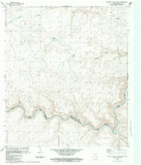
1983 · Panther Gulch West
USGS Topo · 1:24,000
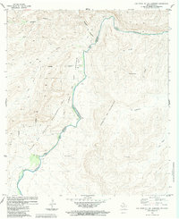
1983 · Las Vegas De Los Ladrones
USGS Topo · 1:24,000