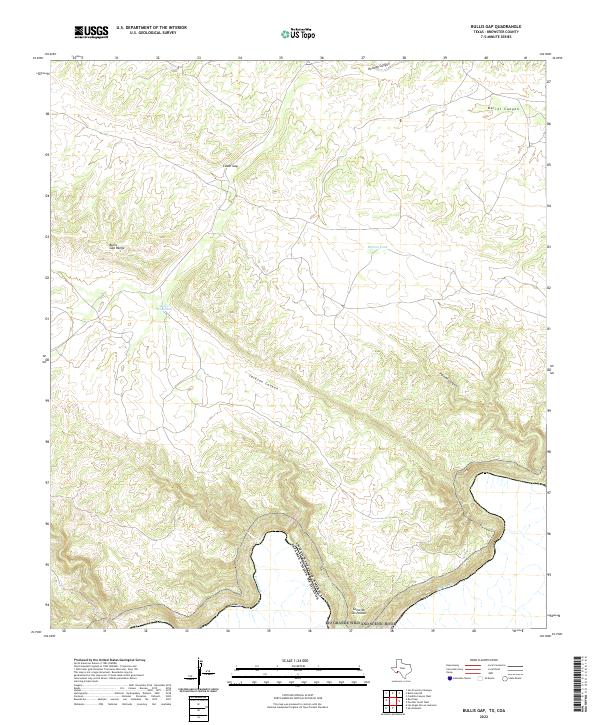
2022 Map of Bullis Gap
USGS Topo · Published 2022About this map
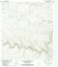
The Rio Grande Wild and Scenic River forms a serpentine international boundary through this portion of Brewster County, where the southern edge of the United States meets the Estados Unidos Mexicanos. This remote Chihuahuan Desert landscape is defined by its dramatic relief and essential water infrastructure, including Bullis Gap Tank and Britton Tank, which support the high-altitude ranching and wildlife management of the region. The topography is dominated by the Bullis Gap Range and high points like Loma de las Palmas. Narrow drainage systems such as Jackson Canyon, Palmas Canyon, and Kellogg Canyon carve through the limestone terrain, creating natural corridors between the elevated peaks of Cedar Gap and the river valley below.
Find a feature on this map
12 named features on this map. Tap any name to fly to it.
Don’t see what you’re looking for? This feature index may not catch every label — zoom into the map to look around manually.
Map Details
Editions of this 2022 Bullis Gap Map
This is the sole edition of this map. No revisions or reprints were ever made.
Other maps of this area

1918 · Reagan Canyon
USGS Topo · 1:62,500

1918 · Bullis Gap
USGS Topo · 1:62,500

1918 · Indian Wells
USGS Topo · 1:62,500

1959 · Emory Peak
USGS Topo · 1:250,000

1965 · Emory Peak
USGS Topo · 1:250,000
1983 · San Francisco Shutups
USGS Topo · 1:24,000
1983 · Bullis Gap
USGS Topo · 1:24,000
1983 · Beef Gap
USGS Topo · 1:24,000
1983 · Panther Gulch West
USGS Topo · 1:24,000
1983 · Las Vegas De Los Ladrones
USGS Topo · 1:24,000