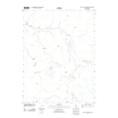
2012 Map of Bully Choop Mountain
USGS Topo · Published 2012About this map
Bullychoopmountain dominates this part of the Klamath Mountains, where the drainage systems of Indian Cr and Reading Cr have carved a series of deep gulches and flats. The landscape is characterized by a high-elevation ridge system including Gunsight Peak, Lookout Peak, and Bluenose Peak, which offer significant vantage points over the surrounding terrain. Isolated water sources such as Mud Springs, Gold Springs, and Dripping Springs are critical features in this high-altitude environment, often serving as historic markers for travel and habitation.
Find a feature on this map
41 named features on this map. Tap any name to fly to it.
Don’t see what you’re looking for? This feature index may not catch every label — zoom into the map to look around manually.
Map Details
Editions of this 2012 Bully Choop Mountain Map
This is the sole edition of this map. No revisions or reprints were ever made.
Other maps of this area

1890 · Red Bluff
USGS Topo · 1:250,000

1894 · Red Bluff
USGS Topo · 1:250,000

1913 · Weaverville
USGS Topo · 1:125,000

1944 · French Gulch
USGS Topo · 1:62,500

1948 · French Gulch
USGS Topo · 1:62,500

1950 · Weaverville
USGS Topo · 1:62,500

1951 · Chanchelulla Peak
USGS Topo · 1:62,500

1952 · Weaverville
USGS Topo · 1:62,500

1952 · Ono
USGS Topo · 1:62,500

1958 · Redding
USGS Topo · 1:250,000