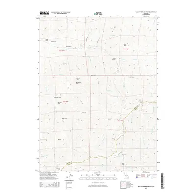
2015 Map of Bully Choop Mountain
USGS Topo · Published 2015About this map
Bully Choop Mountain stands as a prominent landmark on the boundary between Shasta and Trinity counties, a point where high-elevation ridges of the Trinity Mountains intersect. This 2015 survey details a complex landscape of named gulches and canyons, defined by the headwaters of Reading Cr, Indian Cr, and Jerusalem Cr. The drainage patterns, featuring names like China Gulch and Barleyfield Gulch, suggest a history of varied land use and local navigation along the steep slopes. Access to these remote elevations is traced by Bully Choop Rd and Joseph Gulch Rd, which navigate the terrain between summits such as Bluenose Peak and Gunsight Peak. Small natural features like Mud Springs and Dripping Springs provide water sources in the high country, while the inclusion of family-named landmarks like Joes Peak and Arts Peak offers specific points of interest for those tracing local geography.
Find a feature on this map
47 named features on this map. Tap any name to fly to it.
Don’t see what you’re looking for? This feature index may not catch every label — zoom into the map to look around manually.
Map Details
Editions of this 2015 Bully Choop Mountain Map
This is the sole edition of this map. No revisions or reprints were ever made.
Other maps of this area

1890 · Red Bluff
USGS Topo · 1:250,000

1894 · Red Bluff
USGS Topo · 1:250,000

1913 · Weaverville
USGS Topo · 1:125,000

1944 · French Gulch
USGS Topo · 1:62,500

1948 · French Gulch
USGS Topo · 1:62,500

1950 · Weaverville
USGS Topo · 1:62,500

1951 · Chanchelulla Peak
USGS Topo · 1:62,500

1952 · Weaverville
USGS Topo · 1:62,500

1952 · Ono
USGS Topo · 1:62,500

1958 · Redding
USGS Topo · 1:250,000