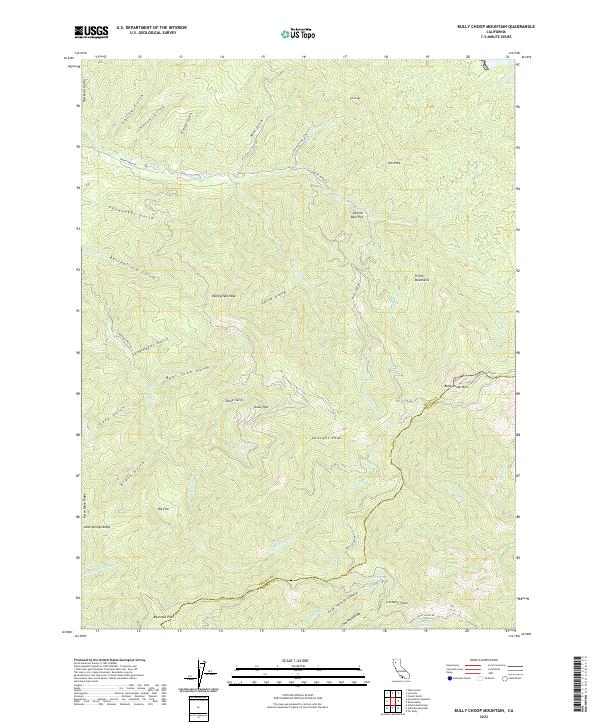
2022 Map of Bully Choop Mountain
USGS Topo · Published 2022About this map
Bully Choop Mtn stands as the dominant topographical feature along the shared boundary of Trinity Co and Shasta Co. This high-elevation terrain in the Trinity Mountains is defined by a dense network of drainages including Reading Cr, Indian Cr, and S Fork Indian Cr, which carve through the landscape to form isolated heights like Gunsight Peak and Bluenose Peak. The land use is characterized by primary access roads like Bully Choop Rd and Reading Creek Rd, which provide passage to remote locations such as Big Flat and Skunk Flat. These names, along with landmarks like Cannon Ball Flat and Dripping Springs, suggest a history of early mountaineering and resource exploration in the California wilderness. The concentration of gulches and creeks, from Old Man Gulch to Jerusalem Cr, illustrates the intricate watershed systems that define the character of this northern interior region.
Find a feature on this map
52 named features on this map. Tap any name to fly to it.
Don’t see what you’re looking for? This feature index may not catch every label — zoom into the map to look around manually.
Map Details
Editions of this 2022 Bully Choop Mountain Map
This is the sole edition of this map. No revisions or reprints were ever made.
Other maps of this area

1890 · Red Bluff
USGS Topo · 1:250,000

1894 · Red Bluff
USGS Topo · 1:250,000

1913 · Weaverville
USGS Topo · 1:125,000

1944 · French Gulch
USGS Topo · 1:62,500

1948 · French Gulch
USGS Topo · 1:62,500

1950 · Weaverville
USGS Topo · 1:62,500

1951 · Chanchelulla Peak
USGS Topo · 1:62,500

1952 · Weaverville
USGS Topo · 1:62,500

1952 · Ono
USGS Topo · 1:62,500

1958 · Redding
USGS Topo · 1:250,000