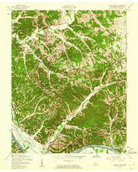
1957 Map of Bumpus Mills
USGS Topo · Published 1960About this map
The Cumberland River corridor in Stewart County is captured here during a period of massive hydraulic transformation. The most striking element of the landscape is Lake Barkley (Dam Under Construction), with dashed lines indicating areas subject to inundation at the 359-foot pool level. This engineering project fundamentally altered the local geography, threatening low-lying farmsteads and settlements like Dyers.
Find a feature on this map
31 named features on this map. Tap any name to fly to it.
Don’t see what you’re looking for? This feature index may not catch every label — zoom into the map to look around manually.
Map Details
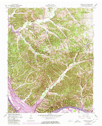
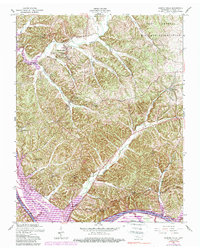
Editions of this 1957 Bumpus Mills Map
3 editions found
Other maps of this area

1931 · Erin
USGS Topo · 1:62,500

1936 · Tharpe
USGS Topo · 1:24,000

1936 · Standing Rock
USGS Topo · 1:24,000

1936 · Dover
USGS Topo · 1:24,000

1950 · Standing Rock
USGS Topo · 1:24,000

1950 · Dover
USGS Topo · 1:24,000

1951 · Model
USGS Topo · 1:24,000

1951 · Roaring Spring
USGS Topo · 1:24,000

1951 · Johnson Hollow
USGS Topo · 1:24,000
1951 · Tharpe
USGS Topo · 1:24,000