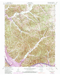
1957 Map of Bumpus Mills
USGS Topo · Published 1990About this map
Bumpus Mills and the nearby community of Big Rock serve as the primary anchors for this section of Stewart County, where the landscape is defined by the winding course of the Cumberland River and the expansive Lake Barkley. This 1957 survey, updated with photo-revisions in the early 1980s, reveals a rural network of family-named cemeteries and community schools like Hayes Fork School and Chestnut Grove School that speak to the area's deep-rooted genealogy.
Find a feature on this map
42 named features on this map. Tap any name to fly to it.
Don’t see what you’re looking for? This feature index may not catch every label — zoom into the map to look around manually.
Map Details
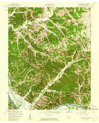
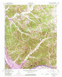
Editions of this 1957 Bumpus Mills Map
3 editions found
Other maps of this area

1931 · Erin
USGS Topo · 1:62,500

1936 · Tharpe
USGS Topo · 1:24,000

1936 · Standing Rock
USGS Topo · 1:24,000

1936 · Dover
USGS Topo · 1:24,000

1950 · Standing Rock
USGS Topo · 1:24,000

1950 · Dover
USGS Topo · 1:24,000

1951 · Model
USGS Topo · 1:24,000

1951 · Roaring Spring
USGS Topo · 1:24,000

1951 · Johnson Hollow
USGS Topo · 1:24,000
1951 · Tharpe
USGS Topo · 1:24,000