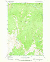
1970 Map of Bungalow Mountain
USGS Topo · Published 1973About this map
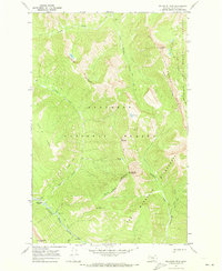
The Flathead National Forest defines this high-elevation landscape within the northern Rockies, specifically encompassing a significant portion of the Bob Marshall Wilderness as it appeared in 1970. The terrain is marked by the steep drainage systems of the Spotted Bear River and the White River, which flow through deep valleys separated by prominent peaks such as Ibex Mountain and Bungalow Mountain. Evidence of early administrative and fire-watch management is found at the Bungalow Lookout and the Pentagon Guard Sta, both accessible by established paths like the Pentagon Creek Trail. This survey captures the remote character of the wilderness before later 20th-century shifts in forest management, highlighting isolated features like Christopher Lake and the dramatic Cliffs rising above the river basins.
Find a feature on this map
25 named features on this map. Tap any name to fly to it.
Don’t see what you’re looking for? This feature index may not catch every label — zoom into the map to look around manually.
Map Details
Editions of this 1970 Bungalow Mountain Map
2 editions found
Other maps of this area

1936 · Silvertip
USGS Topo · 1:96,000

1942 · Silvertip
USGS Topo · 1:125,000

1955 · Choteau
USGS Topo · 1:250,000

1957 · Choteau
USGS Topo · 1:250,000

1958 · Choteau
USGS Topo · 1:250,000

1962 · Choteau
USGS Topo · 1:250,000
1970 · Cathedral Peak
USGS Topo · 1:24,000
1970 · Whitcomb Peak
USGS Topo · 1:24,000
1970 · Trilobite Peak
USGS Topo · 1:24,000
1970 · Pagoda Mountain
USGS Topo · 1:24,000