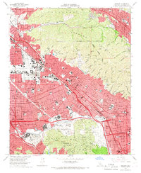
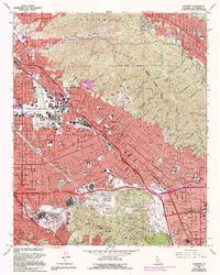
1966 Map of Burbank
USGS Topo · Published 1967About this map
Burbank and the surrounding San Fernando Valley appear here at a peak of mid-century industrial and entertainment influence. The landscape is dominated by the sprawling facilities of Disney Studios, Warner Bros Studios, and NBC-TV Studios near the Santa Monica Mountains and Cahuenga Pass. Aviation history is anchored by the Lockheed Air Terminal in the northwest, while the burgeoning suburban residential patterns of Sun Valley, Magnolia Park, and Toluca Lake are intersected by the Southern Pacific railroad and the expanding Golden State Freeway. To the north and east, the Verdugo Mountains rise sharply, dissected by numerous canyons like La Tuna Canyon and Wildwood Canyon, providing a stark topographical contrast to the densely developed valley floor. This survey captures the region just as the postwar boom solidified its identity as the global hub for television and film production.
Find a feature on this map
79 named features on this map. Tap any name to fly to it.
Don’t see what you’re looking for? This feature index may not catch every label — zoom into the map to look around manually.
Map Details
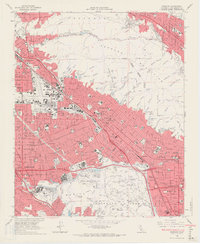
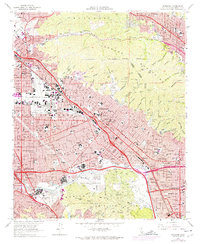
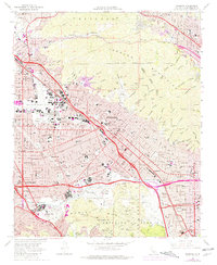
Editions of this 1966 Burbank Map
5 editions found
Other maps of this area

1894 · Los Angeles
USGS Topo · 1:62,500

1896 · Pasadena
USGS Topo · 1:62,500

1896 · Santa Monica
USGS Topo · 1:62,500

1898 · Santa Monica
USGS Topo · 1:62,500

1900 · Pasadena
USGS Topo · 1:62,500

1900 · Tujunga
USGS Topo · 1:62,500

1900 · Los Angeles
USGS Topo · 1:62,500

1900 · Fernando
USGS Topo · 1:62,500

1901 · Southern California Sheet No. 1
USGS Topo · 1:250,000

1902 · Santa Monica
USGS Topo · 1:62,500